Is My Property in a Flood Hazard Area?
Understanding a HEC-RAS Analysis and Determining Where on Your Land You Can Build.
Understanding a HEC-RAS Analysis and Determining Where on Your Land You Can Build.
FEMA Maps, New Jersey Department of Environmental Protection (NJDEP) maps and regulations, and our changing climate, when it comes to determining legal requirements surrounding flood hazard risks, there are a lot of factors at play. There are also multiple methods to determine these risks and ensure compliance with relevant regulations. It’s safe to say that determining where you can and cannot build or engage in other regulated activities on a parcel of land is complicated.
So, what is the most accurate method of determining flood hazard risks? If you want to maximize the buildable space on a parcel of land by identifying precise boundaries of flood hazard areas, you should consider doing what is called a HEC-RAS analysis.
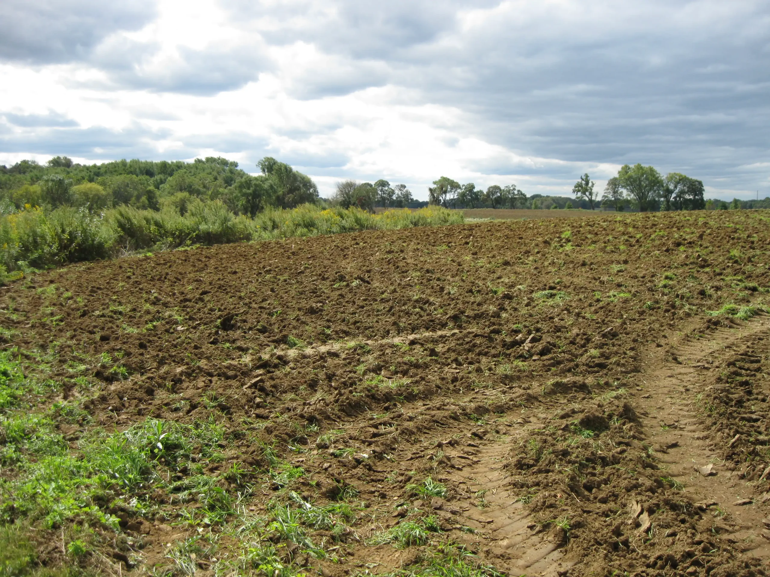
At a very basic level, a HEC-RAS Flood Hazard Analysis simulates the flow of natural riverbeds or artificial channels to determine the flood hazard area by calculation. Under the direction of a licensed engineer, a surveying team goes to the site to take measurements of a watercourse and the surrounding land. This information, often in conjunction with additional information from the United States Geological Survey (USGS), is then used to create a model of the stream and surrounding area. Several other calculations are performed to determine the amount of water to “run” through the model, which will ultimately create a flood hazard map that is fine-tuned based on local conditions. The investigation and surveying requirements of a HEC-RAS Flood Analysis are more intensive because the goal is to get an accurate assessment of the conditions of the watercourse and the risks of constructing a project nearby.
Streams or watercourses not studied by FEMA or NJDEP require a determination of the flood hazard area associated with these watercourses. In New Jersey, the DEP requires the use of one of six methods to determine this, two of which utilize a HEC-RAS Analysis, Method 4 and Method 6, as stipulated by the Flood Hazard Area Control Act Rules at N.J.A.C. 7:13. These two methods require a licensed engineer to perform calculations to determine flood elevations and are thus generally considered the most accurate. Method 5 can also be used to determine a flood elevation, but it is sometimes considered overly conservative. Oftentimes, the most accurate calculations that clearly define the flood hazard area on your site are the most prudent course of action, especially since building in a flood hazard area is risky, time-consuming, and expensive.
When determining a flood hazard area in New Jersey, Method 4 is used when you have some of the information you need available through existing mappings. It utilizes flow information published by FEMA in the analysis instead of calculating this information separately but still includes an investigation of missing FEMA information regarding the floodway, one of the two areas that make up a flood hazard area. This is a very important factor to consider when planning a project due to the more stringent regulations of the floodway.
Method 5 is another way to determine a flood hazard area in New Jersey that can be used in the case of unstudied streams. It does not require a HEC-RAS analysis. However, it is a conservative estimate that can lead to a large approximation of the flood hazard area, and it does not calculate the limits of the floodway. The drawback to this method is that it has greater potential to declare parts of land as unavailable for development unnecessarily.
When determining a flood hazard area in New Jersey, Method 6 is used when there is no information published by the DEP or FEMA. Just because a stream does not have any published information on it does not mean that the stream doesn’t have a flood hazard area. There are a surprising number of streams that are “unstudied” but still fall under NJDEP jurisdiction. Method 6 is the most accurate method to determine the flood hazard area and floodway limits in these cases because it involves site-specific measurements and calculations.
Existing information about flood risks on a particular parcel of land may be available; however, the data may be incomplete. Sometimes information for a watercourse only exists up to a point, even though the watercourse continues to flow through your site, or sometimes a site can contain multiple watercourses, but only one is studied. In these cases, a HEC-RAS analysis will fill in the gaps. Even if FEMA or DEP mappings exist for the site, Methods 4 and 6 can still be used to produce more detailed results of the flood hazard area limits, provided any DEP mapping for the site is dated prior to January 24, 2013. If a DEP map was published after that date, the limits of the flood hazard area set by that map must be used. Typically, a HEC-RAS analysis is used when there is not enough published information to determine the flood hazard elevation, but it may also be used to take a closer look at and potentially reduce the flood hazard area on a site. This can free up more land for development.
FEMA maps do not cover every water course. Many tributaries were not studied when FEMA assembled its maps. Additionally, DEP mapping is also used as a standard in New Jersey, but these same issues can arise. This discrepancy has led the DEP to develop different methods for determining the flood hazard area on a site in order to ensure that each site can get an accurate assessment of where the danger of floods lies.
Yes, in certain situations, doing a HEC-RAS analysis can help you obtain permits to undertake regulated activities such as construction or the creation of a nonpermeable surface. Many sites contain streams that do not have published flood information but are still regulated, so a flood hazard area must be determined in order to go through the permitting process. The HEC-RAS analysis also produces the limits of the floodway, and if your project can stay outside of this area, the permitting process may become quicker and easier.
A HEC-RAS Flood Hazard Analysis is useful when either incomplete or absent flood hazard information relating to a parcel of land is creating risk or hindering development. Developers may want to do a HEC-RAS analysis instead of an approximate analysis because they want a more accurate assessment of the regulated areas on site. Hiring a professional engineer to use HEC-RAS to analyze the exact locations of flood zones on your property may increase the buildable space available for your construction project, which can save you money in the long run.
In short, having a HEC-RAS Flood Hazard Analysis performed will not change your requirements to purchase flood insurance. Flood insurance requirements are determined by FEMA’s National Flood Insurance Program, and the purpose of a HEC-RAS analysis is to determine the flood hazard elevation on a site to comply with NJDEP requirements. The two are separate entities and function separately. FEMA does offer a process to reduce or remove the flood hazard area on your property through a LOMA of LOMR, but that is a different discussion.
A HEC-RAS Flood Hazard Analysis has to be performed by a licensed engineer who has a background in water resource management and hydrologic and hydraulic calculations. LAN Associates has a dedicated team of professionals who specialize in this discipline, but not all engineering firms have someone who meets these requirements on staff. It is important that you contact a qualified firm.
Yes, the engineers at LAN Associates have both the qualifications and required credentials to provide an in-depth HEC-RAS analysis of your property to determine if it presents a flood hazard risk and where on a property is safe to build.
Keep up to date with the latest LAN news and projects and read insightful articles about the AEC industry